Discover Tahquamenon Falls Michigan: Essential Directions Here!
Planning a trip to one of Michigan's most breathtaking natural wonders requires precise navigation. When seeking the best directions to Tahquamenon Falls Michigan, understanding its location within the vast Upper Peninsula is key. This magnificent waterfall, nestled within a sprawling State Park, offers unparalleled scenic beauty for every visitor. Knowing your route from nearby hubs like Newberry ensures a smooth, enjoyable journey to this iconic destination.
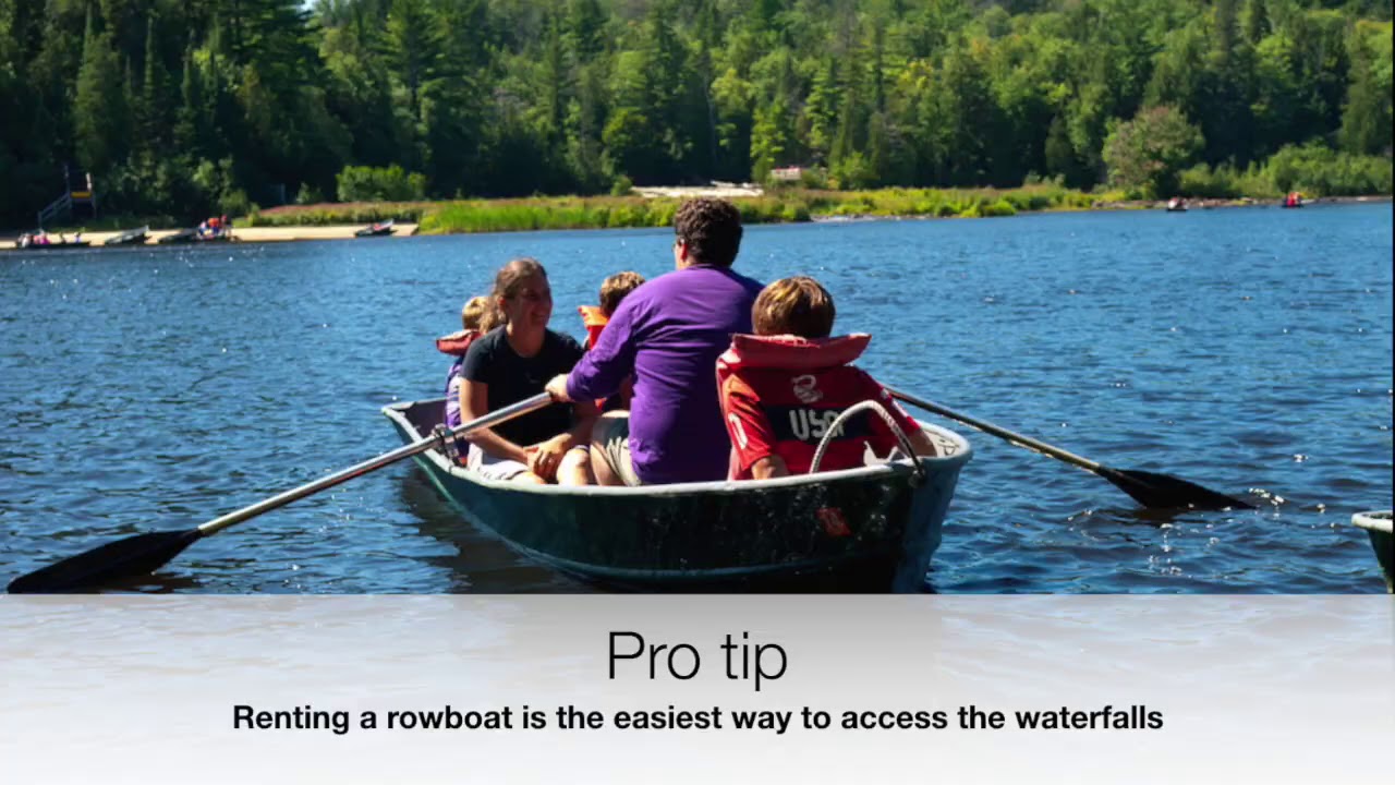
Image taken from the YouTube channel Michigan DNR , from the video titled Tahquamenon Tips- Episode 1 .
Welcome to your essential guide for visiting Tahquamenon Falls, one of Michigan's most magnificent natural wonders. Nestled deep within the Upper Peninsula, these iconic waterfalls are a prime destination for nature lovers, hikers, and anyone seeking a breathtaking escape. Often referred to as the "Root Beer Falls" due due to the rich, amber color imparted by tannins leached from cedar swamps, Tahquamenon Falls offers a unique visual spectacle unlike any other.
This comprehensive guide is designed to ensure your journey to this natural marvel is as smooth and enjoyable as the destination itself. Our primary focus in this introductory section, and throughout the guide, is to provide you with precise and practical directions. We aim to equip you with all the necessary information to navigate your way to Tahquamenon Falls State Park efficiently and without hassle, setting the stage for an unforgettable adventure. Prepare to discover the beauty and accessibility of this quintessential Michigan landmark.
Now that you're ready to embark on your journey to Tahquamenon Falls, let's pinpoint its exact location to ensure your navigation is seamless.
Your Destination: Tahquamenon Falls State Park
When you're planning your trip to Tahquamenon Falls, it's crucial to understand a key detail for accurate navigation: the falls are located entirely within Tahquamenon Falls State Park. This distinction is vital because all directions we provide, and indeed, most GPS systems, will guide you directly to the entrances of Tahquamenon Falls State Park, not a standalone 'Tahquamenon Falls' address.
This sprawling natural preserve is nestled deep in Michigan's scenic Upper Peninsula. Known for its vast wilderness, the park encompasses nearly 50,000 acres, making it one of Michigan's largest state parks. Its remote yet accessible location near the small town of Paradise, Michigan, contributes to its wild charm.
Therefore, as you follow our upcoming guidance, remember that your ultimate goal will be arriving at one of the designated access points for Tahquamenon Falls State Park, which serves as the gateway to both the iconic Upper and Lower Falls.
With a clear understanding that your destination is Tahquamenon Falls State Park itself, nestled in Michigan's captivating Upper Peninsula, the next step is to understand the primary arteries that lead you directly to its gates.
Key Access Routes to Tahquamenon Falls
Navigating to Tahquamenon Falls State Park primarily revolves around one key state highway. Knowing this essential route, Michigan Highway 123, or M-123, is crucial for planning your approach, whether you're traveling from the north or the south.
M-123 serves as the sole direct road to the park's main entrances. It functions as the critical link connecting the park to larger regional routes and nearby communities.
Approaching from the North: Via Paradise, Michigan
For many visitors, particularly those exploring the northern reaches of the Upper Peninsula, the most common approach to Tahquamenon Falls is from the north. This route will lead you directly through the charming town of Paradise, Michigan.
Once in Paradise, simply follow the signs for M-123 South. This segment of M-123 will efficiently guide you straight to the park's northern access points, including the entrance to the Upper Falls. Paradise is often considered the gateway community from the north.
Approaching from the South: Via Newberry, Michigan
Conversely, if your journey originates from the lower Michigan Peninsula or points south and west in the U.P., your primary access point will be from the south. This route typically involves reaching the town of Newberry, Michigan.
Newberry is strategically located on M-28, a major east-west highway in the Upper Peninsula. From Newberry, you will turn onto M-123 North. This section of M-123 travels approximately 23 miles, taking you through picturesque scenery directly to the park's southern entrances, which provide convenient access to both the Lower and Upper Falls areas.
Having established M-123 (Michigan Highway 123) as the primary artery for reaching Tahquamenon Falls, let's now provide precise, step-by-step guidance to ensure a seamless journey to the park entrances. This section details the most common approaches from both northern and southern Michigan, directing you effectively along M-123.
Detailed Directions to Tahquamenon Falls State Park
Navigating to Tahquamenon Falls State Park is straightforward once you're on M-123. This core section provides precise, turn-by-turn guidance from common northern and southern starting points. Follow these instructions carefully to ensure a direct path to the park's well-marked entrances.
Directions from the North
If your journey originates from areas north of the park, such as from I-75 via M-28, or specifically from the Paradise region, your path will lead you south on M-123.
First, proceed to Paradise, Michigan. This charming small town serves as a key gateway to the Falls from the north.
From Paradise, Michigan, take M-123 (Michigan Highway 123) south. This section of M-123 is a scenic drive. Continue on M-123 for approximately 8 to 10 miles.
As you drive, you will encounter clear signage for Tahquamenon Falls State Park. The entrance for the Upper Falls is typically the first major park entrance you'll see on your right, followed shortly by the entrance for the Lower Falls. Both are easily accessible directly from M-123.
Directions from the South
For travelers coming from southern Michigan areas like St. Ignace, Manistique, or specifically from the Newberry region, your route to the Falls will involve heading north on M-123.
Begin by proceeding to Newberry, Michigan. This town is a significant service hub and serves as the primary southern access point to the Falls.
From Newberry, Michigan, take M-123 (Michigan Highway 123) north. This drive is a direct and well-maintained route. Continue on M-123 for approximately 20 miles.
Maintain your course directly on M-123, keeping an eye out for prominent brown and white signs. These will clearly indicate the entrances for Tahquamenon Falls State Park. You will typically encounter the entrance for the Lower Falls first, followed a few miles further north by the entrance for the Upper Falls. Both are conveniently located directly off M-123.
While traditional turn-by-turn instructions provide a solid framework for your journey, many travelers today rely on digital assistance for seamless navigation. For those who prefer the convenience of modern technology, utilizing GPS effectively can guide you straight to Tahquamenon Falls State Park.
Utilizing GPS Navigation for Tahquamenon Falls
Leveraging your GPS device or smartphone app can provide precise, real-time directions to Tahquamenon Falls. However, a few practical tips can ensure your digital guidance is as smooth and reliable as possible.
Primary Destination Input
When using GPS navigation apps like Google Maps, Apple Maps, or Waze, the most straightforward approach is to input the full destination name: "Tahquamenon Falls State Park." This precise search term should direct you to the park's main entrances, typically leading you to either the Lower or Upper Falls parking areas, depending on the specific location pinpointed by your app. Always confirm that the search result indicates a state park in Michigan to ensure accuracy and avoid misdirection.
Alternative Town-Based Navigation
Should you encounter difficulty finding the park directly, or if you prefer a two-step navigation approach, you can alternatively search for specific gateway towns. Consider setting your initial destination to either "Paradise, Michigan" (if approaching from the north or east) or "Newberry, Michigan" (if coming from the south or west). Once you reach these towns, your GPS can then be reset, or you can simply follow the prominent signs for M-123 (Michigan Highway 123). This state highway serves as the primary artery leading directly to Tahquamenon Falls State Park from both Paradise and Newberry.
Essential Tip: Prepare for Connectivity Gaps
One of the most critical pieces of advice for navigating the Upper Peninsula is to prepare for potential connectivity issues. Cell service can be notoriously spotty or even non-existent in many remote areas of Michigan's Upper Peninsula, including stretches of the drive to Tahquamenon Falls. To ensure uninterrupted guidance and prevent getting lost due to a lost signal, it is highly recommended that you download offline maps for your chosen GPS navigation app before you depart from an area with reliable internet access. Most modern GPS applications offer this feature, allowing you to download map data for a specific region. This foresight will provide continuous, turn-by-turn directions even when your device can't connect to a cellular network or Wi-Fi, making your journey to the Falls much smoother and stress-free.
Important Travel Tips for Reaching Tahquamenon Falls, Michigan
While GPS navigation provides a clear path to Tahquamenon Falls, a successful and stress-free journey often hinges on being prepared for the unique characteristics of driving in Michigan’s Upper Peninsula. Beyond simply knowing where to go, these crucial travel tips ensure a safe and smooth experience, addressing practical considerations like road conditions, service availability, and realistic travel times.
Prepare for Variable Road Conditions
Michigan's Upper Peninsula (UP) can present diverse driving conditions, particularly outside of peak summer months. It's essential to check current road conditions before you depart, especially if traveling during late fall, winter, or early spring. Heavy snowfall, ice, and even dense fog can significantly impact visibility and traction.
You can often find up-to-date information on the Michigan Department of Transportation (MDOT) website (Mi Drive) or through local weather apps. Being aware of potential hazards like snow-covered roads, slippery patches, or areas prone to deer crossings will help you adjust your driving speed and increase your awareness, ensuring a safer trip to the falls.
Plan for Limited Services on M-123
The drive through the Upper Peninsula, especially along Michigan Highway 123 (M-123) which leads directly to Tahquamenon Falls, covers some remote areas. Services like gas stations, restaurants, and convenience stores are significantly limited between major towns such as Newberry and Paradise.
It's highly advisable to fill up your gas tank and purchase any snacks or beverages you might need before embarking on the final leg of your journey. For instance, Newberry offers various amenities, while Paradise has fewer options. Once you're on M-123 heading towards the park, you'll encounter long stretches without commercial services, so proactive planning is key to avoiding unexpected delays or discomfort.
Allow Ample Travel Time
Rural Michigan roads often differ from urban highways, and it's wise to allow more travel time than you might initially estimate. Speed limits can vary, and you'll encounter a mix of winding roads, stretches with lower posted speeds, and areas where traffic might move slower due to scenic views or wildlife activity.
Additionally, while traffic is generally light, during peak tourist seasons, you might experience minor congestion around popular attractions or smaller towns. Accounting for these factors, along with potential stops for photos or unexpected detours, will prevent rushing and ensure you arrive at Tahquamenon Falls feeling relaxed and ready to explore.
Video: Discover Tahquamenon Falls Michigan: Essential Directions Here!

Frequently Asked Questions About Visiting Tahquamenon Falls
What are the primary directions to Tahquamenon Falls Michigan?
Tahquamenon Falls State Park is located near Paradise, Michigan, off M-123. For precise directions to Tahquamenon Falls Michigan, it's best to use GPS navigating to the Upper Falls or Lower Falls park entrances. Look for clear state park signage once you're on M-123.
How far is Tahquamenon Falls from popular Upper Peninsula entry points?
From Mackinaw City (via St. Ignace), it's about a 1.5-2 hour drive. From Sault Ste. Marie, expect approximately a 1-hour drive. If coming from Marquette, the drive is roughly 2.5-3 hours. These times can vary based on road conditions.
Is there an entrance fee to access Tahquamenon Falls State Park?
Yes, a Michigan Recreation Passport is required for vehicle entry. This passport can be purchased when renewing your license plate tabs, or at the park entrance booth. It provides access to all Michigan State Parks and recreation areas.
What facilities are available at Tahquamenon Falls, and can I visit in winter?
The park is open year-round, offering spectacular winter views. Facilities include a visitor center, gift shop, restrooms, and accessible viewing platforms at the Upper Falls. Extensive hiking trails connect both the Upper and Lower Falls, along with opportunities for camping.
With these practical insights, you're well-equipped to find your way. Enjoy your unforgettable visit to Tahquamenon Falls, confident in your directions to Tahquamenon Falls Michigan!
Related Posts:
- Halo Burger Grand Blanc Michigan: Why Locals Can't Get Enough!
- Red Olive Restaurant Hartland Michigan: Your Next Favorite Spot!
- What To Do In Mount Pleasant, Michigan? Explore Its Hidden Gems!
- Electrical Permit Michigan: Essential Steps for Homeowners
- Deck the Halls: UMich Christmas Ornaments Tradition Unveiled
